The provincial government is willing to work more closely with the District of Lantzville on detour and traffic management plans for the Island Highway.
According to a letter available on the district’s website, the Ministry of Transportation said it would “be more than happy” to go over its traffic management plan for Highway 19 with the District of Lantzville and to “work more closely” with the municipality on detour plans.
The letter explains that in the event of an incident that “results in the long closure” of Highway 19, the ministry’s traffic plan calls for the use of a gate that is installed with a “median barrier” at a rest area near Nanoose Bay, allowing traffic to cross over onto the opposite side of the highway.
Lantzville’s section of the highway has “limited detour” options, the ministry notes.
The ministry’s response comes less than a month after Lantzville council passed a series of motions calling on the Ministry of Transportation and Infrastructure to create a traffic management plan for the district when Highway 19 is closed as well as carry out a review of the highway to address safety concerns.
The motions, which were brought forward by Coun. Karen Proctor and passed unanimously, also called on the Nanaimo RCMP to increase enforcement along Lantzville’s stretch of the Island Highway
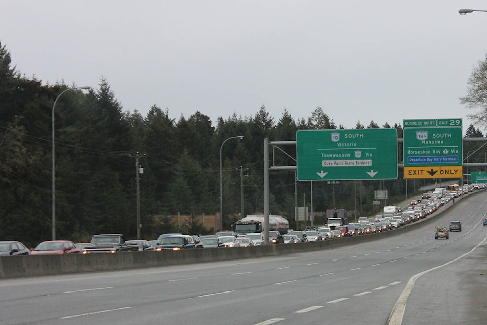
About 8.5 kilometres of Highway 19 cross through the District of Lantzville and Nanoose First Nation. During that stretch, there are four intersections with traffic lights, with the major intersections being Superior Road and Ware Road. Traffic lights were installed earlier this year on Highway 19 at the Lantzville Road intersection, near the newly built Shell station.
Proctor said she was pleased with the ministry’s response. She said she will be bringing forward a motion at Lantzville’s next council meeting on Oct. 21 requesting that the District of Lantzville have access to the ministry’s emergency traffic plan.
“We want to see their plan. That is the next step,” she said. “Then we will decide who we need to have a conversation with about adjusting that plan.”
Proctor said she will also be requesting that the province install electric signs that list travel times along Highway 19 before Lantzville. She said the signs would make a big difference because motorists would be able to see whether the highway is closed or not before they reach a point where they cannot exit the highway.
“If I was headed up Island and I saw a sign for Aulds Road that said there is a two-and-a-half-hour traffic delay, I would pull into Woodgrove and have a coffee,” she said. “The same thing if I saw that sign before I got to Northwest Bay Road, I’d just turn back to Parksville. That would ease the congestion a lot.”
Lantzville’s stretch of Highway 19 is unique, according to Proctor.
“We have four lights on a four-lane highway that are closer together than any other stretch and then we have the stretch where there is no route around it. So, when there is an accident between Northwest Bay Road and Aulds Road, you’re stuck,” she said.
Long term, Proctor believes the best solutions would be for an interchange to be installed at Ware Road, a flyover built at Aulds Road and an alternate road that would allow for motorists to bypass Highway 19 in the event of a major accident.
“We need an additional route through that area,” she said. “I know that is very expensive, but for everybody’s safety that needs to be done.”
Follow @npescod
nicholas.pescod@nanaimobulletin.com
Like us on Facebook and follow us on Twitter and Instagram