If March normally comes in like a lion or a lamb, February has behaved like the abominable snowman.
According to Environment Canada, February has been much colder than normal and temperatures will stay that way through the end of the month.
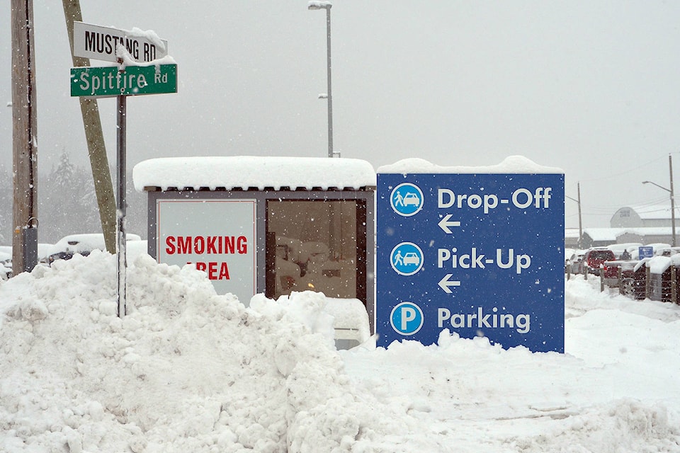
Winter brought record-breaking low temperatures and snowfall on the weekend and early this week.
“Nanaimo was pretty much the epicentre as far as we’re concerned,” said Armel Castellan, Environment Canada meteorologist.
On Sunday 31.8 centimetres of snow landed on Nanaimo, shattering the previous record for the day of 12.4cm set in 2009. Monday brought 21cm of snow, surpassing the 16.5cm record set in 1954.
Not only were considerable amounts of snow dumped on the region, with reports of snow up to 60cm deep in some areas, the region has stayed cold and Nanaimo broke a cold temperature record Sunday with -11 C that beat the -8 record set for the day in 1981.
“The average has been -0.7 C and to put that into perspective February normally sees an average of 4.3 C, so you’re five degrees, on the nose, colder than normal, so far,” Castellan said. “Looking forward from now, we are looking at a relative warming trend. That’s not to say that we’re going to achieve seasonal values, because I don’t think we are, but what we’re going to see is temperatures that are probably about two to four degrees colder than normal.”
Snow, up to 10cm, is expected Thursday, Feb. 14, before temperatures warm up and rain is expected Friday, Feb. 15.
“With that will come the slushy, messy soup that will bring problematic localized flooding,” Castellan said.
He said people should make sure storm drains in neighbourhoods are clear and owners of homes with shallow or flat roofs or older homes should consider shovelling snow from roofs before rain adds considerable load to roof structures.
photos@nanaimobulletin.com
Like us on Facebook and follow us on Twitter