PORT ALBERNI – Waters of the swollen Somass River near Port Alberni, B.C., have receded slightly overnight, but the next wave of wet weather is on the way, meaning more flooding is possible on central Vancouver Island.
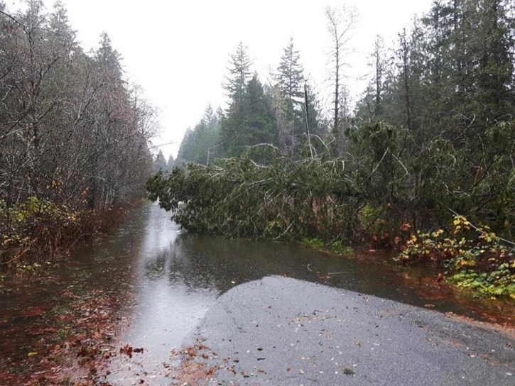
Single lane traffic is moving again on Highway 4 just west of Port Alberni, after the only route to and from Tofino and Ucluelet was closed for several days as the Somass burst its banks.
But Environment Canada has issued a special weather statement warning a new system will hammer north, central and western Vancouver Island by Thursday night, dumping as much as 100 to 150 millimetres of rain through Friday.
Eleven homes are evacuated on the Tseshaht First Nation and a state of emergency remains in effect, while on the mainland near Pemberton, an evacuation alert continues for homes on the Lil'Wat First Nation and for some properties along the Lillooet River.
The River Forecast Centre issued a flood warning for the Lillooet River and its tributaries late Wednesday afternoon as heavy rain and warm temperatures melt recent snowfalls.
A Flood watch is also in effect for the Squamish River near Brackendale, north of Vancouver, but forecasters expect waters in most areas to recede through the day, offering a respite before the next storm system hits.
The Canadian Press