January’s weather walloped Nanaimo with everything but the kitchen sink, with flooding, snow and even a couple of record-breaking warm days.
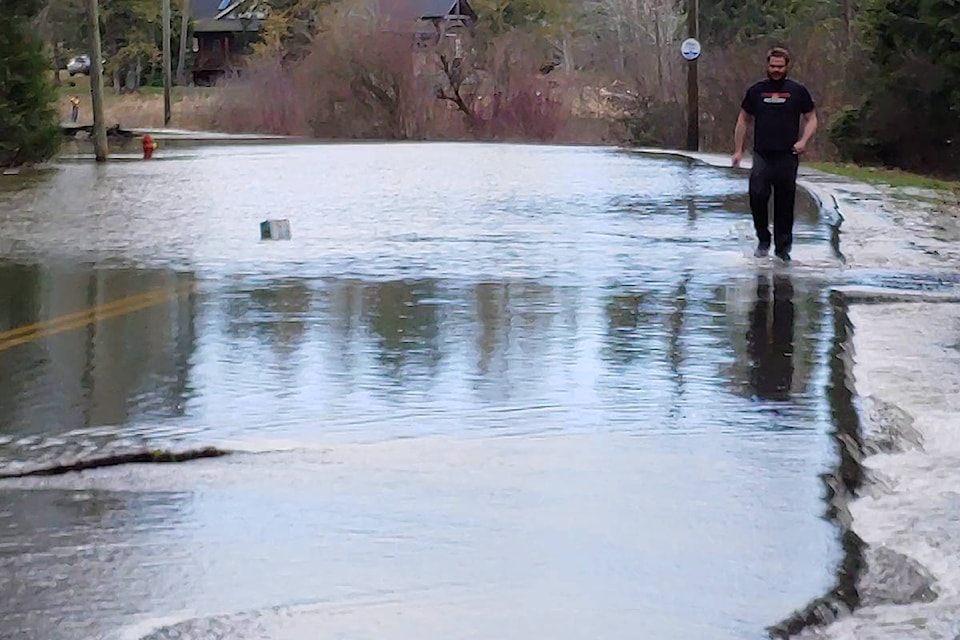
The first month of 2020 capped off with evacuations due to flooding in some of the region’s low-lying areas where rivers overran their banks and caused closure of several roads.
“It’s been quite a month … and to cap it off with the weekend was something fierce,” said Armel Castellan, Environment Canada meteorologist.
Nanaimo received 280 millimetres of precipitation for January, which is about 149 per cent of the normal 188mm of precipitation for the month. Those precipitation totals chalked January 2020 up as the ninth wettest since record keeping started here in 1892.
“The reason [Nanaimo] is not as high a ranking as, say Victoria, which ranked second, is because there we’re only comparing back to the airport location in 1941, whereas in Nanaimo we have the [Pacific Biological Station] from 1892 through to today, so that’s a much longer period of records,” he said.
Nanaimo’s all-time January precipitation record was set in 2006 with 365mm of precipitation.
“So definitely anomalous, there’s no doubt about it, particularly that last storm was quite eventful,” Castellan said. “I mean, just on the 31st alone, Nanaimo’s airport saw 66.5 millimetres of rain.”
Friday’s precipitation was a daily record, almost doubling the previous Jan. 31 record of 36mm set back in 1990.
Other big precipitation days for the month were Jan. 17 with 49mm, Jan. 15 with 29.2mm and Jan. 2 with 22.6mm. All three ranked in the top five heaviest precipitation days on record for those specific dates.
Temperature-wise January wasn’t the warmest on record, just 0.6 C above normal, but several days pushed the mercury up to daily records. Jan. 31, with 13.6 C, edged out the old daily record of 13.4 C set in 2005. Jan. 1 with 13.4 C broke the old 12.8 C record set in 1951 and Jan. 3 set the bar high with 12.4 C, replacing the old 11.7 C temperature record marked down at PBS in 1918.
It might be premature to put away the snow shovels, in light of an Environment Canada special weather alert issued Monday, forecasting snow for east Vancouver Island.
RELATED: ‘Significant snowfall’ in the weather forecast for Nanaimo
“We have different kinds of snow events on the south coast and this one is different from what we saw at the middle of the month of January because then we had those Arctic outflows that reached the coast and we had those streaming cold temperatures before we saw the Pacific storm come in and match it and give us a few days of snow,” Castellan said.
Snow is expected to arrive in Nanaimo on Tuesday morning, Feb. 4, possibly by about 9 a.m. and will alternate with rain throughout the day, depending on elevation.
Castellan said there might be periods of intense snowfall, lasting about 30 minutes, throughout the day until temperatures warm up. Wednesday he is expecting rain showers, followed by rain Thursday, possibly as much as 20mm.
RELATED: Crews help evacuate residents in Cedar area due to flooding
photos@nanaimobulletin.com
Like us on Facebook and follow us on Twitter